Geolocate

Gridley topographic map

Click on the map to display elevation.

👉 Easily get elevation data in JSON, GeoTIFF and KML formats using Elevation API
Thank you for supporting this site ❤️
Make a donation

About this map

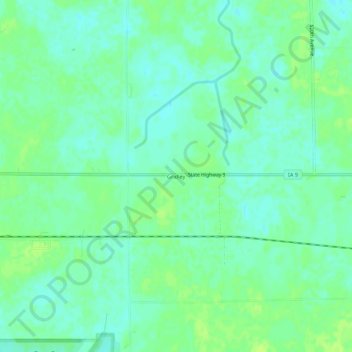
Name: Gridley topographic map, elevation, terrain.

Location: Gridley, Emmet County, Iowa, United States (43.37940 -94.59331 43.41940 -94.55331)

Average elevation: 1,270 ft

Minimum elevation: 1,250 ft

Maximum elevation: 1,289 ft

Emmet County trails, hiking, mountain biking, running and outdoor activities

Other topographic maps

Click on a map to view its topography, its elevation and its terrain.

Dolliver

United States > Iowa > Emmet County

Average elevation: 1,273 ft

Gruver

United States > Iowa > Emmet County

Average elevation: 1,306 ft

Ringsted

United States > Iowa > Emmet County

Average elevation: 1,266 ft

Armstrong

United States > Iowa > Emmet County

Average elevation: 1,234 ft

Wallingford

United States > Iowa > Emmet County

Average elevation: 1,302 ft

Gear up for your next adventure:

🚪Portable Camp Chair - Foldable chair for comfort at camp
🥘Titanium Cookware - Durable, featherlight pots and pans for backpacking
🌄Hiking Binoculars - Compact binoculars for scenic views and trail spotting
🛰️Handheld GPS Units - Professional satellite navigators for precise backcountry mapping
Backpacking Tents - Weight-optimized shelters for multi-day topographic surveys

As an Amazon Associate, this site earns from qualifying purchases at no extra cost to you.