Geolocate

Anenecuilco topographic map

Click on the map to display elevation.

About this map

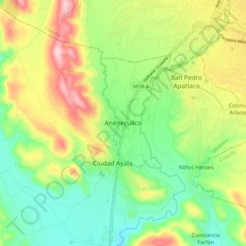
Name: Anenecuilco topographic map, elevation, terrain.

Location: Anenecuilco, Ayala, Morelos, 62714, Mexico (18.73936 -99.02178 18.81936 -98.94178)

Average elevation: 4,144 ft

Minimum elevation: 3,757 ft

Maximum elevation: 4,744 ft

Other topographic maps

Click on a map to view its topography, its elevation and its terrain.

Ayala

Mexico > Morelos > Ayala

Average elevation: 3,970 ft

Gear up for your next adventure:

🧣Hiking Neck Gaiter - Multi‑use neck protection for outdoor weather
📶Vehicle Signal Boosters - Improve reception in rural areas while driving to trailheads
🔥Plasma Lighters - Windproof lighters that work in any weather condition
🧭GPS Watch Accessories - Bands and chargers for GPS watches
📡GPS Antenna Upgrade - Enhance GPS reception in remote terrain

As an Amazon Associate, this site earns from qualifying purchases at no extra cost to you.