Geolocate

Huacariz topographic map

Click on the map to display elevation.

About this map

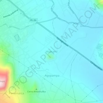
Name: Huacariz topographic map, elevation, terrain.

Location: Huacariz, Cajamarca, 06003, Perú (-7.21568 -78.49270 -7.17568 -78.45270)

Average elevation: 8,783 ft

Minimum elevation: 8,589 ft

Maximum elevation: 10,052 ft

Other topographic maps

Click on a map to view its topography, its elevation and its terrain.

Río Mashcón

Perú > Cajamarca > Cajamarca

Average elevation: 9,531 ft

Gear up for your next adventure:

🪶Trail Camera - Capture wildlife on your hikes
🥾Women's Hiking Boots - Top-rated trail boots with ankle support and superior grip
🪓Survival Multi‑Tool - Versatile tool for camp and trail tasks
🌡️Portable Weather Meter - Track weather conditions on the trail
GPS Sports Watch - GPS watch for running, hiking and training

As an Amazon Associate, this site earns from qualifying purchases at no extra cost to you.