
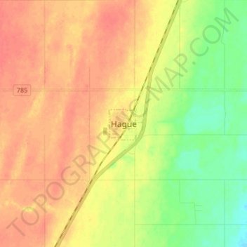
Hague topographic map
Click on the map to display elevation.
About this map
Name: Hague topographic map, elevation, terrain.
Location: Hague, Saskatchewan, S0K 1X0, Canada (52.47121 -106.45769 52.55121 -106.37769)
Average elevation: 1,677 ft
Minimum elevation: 1,594 ft
Maximum elevation: 1,732 ft