
Smokey topographic map
Click on the map to display elevation.
About this map
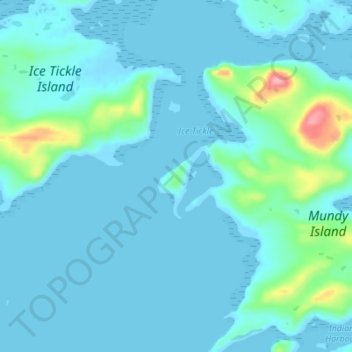
Name: Smokey topographic map, elevation, terrain.
Location: Smokey, Labrador, Newfoundland and Labrador, Canada (54.44667 -57.27000 54.48667 -57.23000)
Average elevation: 46 ft
Minimum elevation: -13 ft
Maximum elevation: 397 ft