Geolocate

San Felipe topographic map

Click on the map to display elevation.

About this map

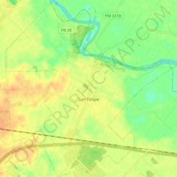
Name: San Felipe topographic map, elevation, terrain.

Location: San Felipe, Austin County, Texas, 77473, United States (29.76394 -96.13659 29.83003 -96.06227)

Average elevation: 148 ft

Minimum elevation: 85 ft

Maximum elevation: 197 ft

Austin County trails, hiking, mountain biking, running and outdoor activities

Other topographic maps

Click on a map to view its topography, its elevation and its terrain.

Nelsonville

United States > Texas > Austin County

Average elevation: 285 ft

Welcome

United States > Texas > Austin County

Average elevation: 358 ft

New Ulm

United States > Texas > Austin County

Average elevation: 387 ft

New Ulm

United States > Texas > Austin County

Average elevation: 387 ft

Gear up for your next adventure:

🌧️Backpack Rain Cover - Keep gear dry in wet weather
🌎3D Topographic Globes - Raised relief globes for a tactile understanding of geography
🦶Carbon Trekking Poles - Reduce knee impact on steep descents with ultra-light poles
🎒Hydration Pack - Hands‑free water reservoir for long hikes
🛡️Insect Repellent - Protection against bugs during outdoor activities

As an Amazon Associate, this site earns from qualifying purchases at no extra cost to you.