
Lukla topographic map
Click on the map to display elevation.
Lukla
Lukla contains a small airport servicing the region, and a variety of shops and lodges catering to tourists and trekkers, providing western-style meals and trail supplies. From Lukla, travellers will take two days to reach the village Namche Bazaar, an altitude acclimatization stop for those continuing on. In August 2014, the Nepalese government announced plans to open the first tarmac road from Kathmandu to Lukla.
About this map
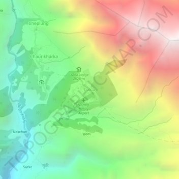
Name: Lukla topographic map, elevation, terrain.
Location: Lukla, Khumbupasanglahmu, Solukhumbu, Koshi Province, Nepal (27.66897 86.71067 27.70897 86.75067)
Average elevation: 9,829 ft
Minimum elevation: 6,460 ft
Maximum elevation: 14,554 ft
Other topographic maps
Click on a map to view its topography, its elevation and its terrain.