
Elsig topographic map
Click on the map to display elevation.
About this map
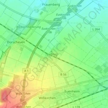
Name: Elsig topographic map, elevation, terrain.
Average elevation: 587 ft
Minimum elevation: 509 ft
Maximum elevation: 732 ft
Other topographic maps
Click on a map to view its topography, its elevation and its terrain.
Frauenberg
Deutschland > Nordrhein-Westfalen > Kreis Euskirchen > Euskirchen
Average elevation: 531 ft
Kuchenheim
Deutschland > Nordrhein-Westfalen > Kreis Euskirchen > Euskirchen
Average elevation: 568 ft