
Bronson topographic map
Click on the map to display elevation.
About this map
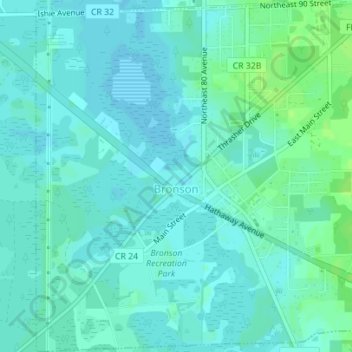
Name: Bronson topographic map, elevation, terrain.
Location: Bronson, Levy County, Florida, United States (29.43373 -82.65621 29.46401 -82.62282)
Average elevation: 69 ft
Minimum elevation: 56 ft
Maximum elevation: 92 ft
Levy County trails, hiking, mountain biking, running and outdoor activities
Other topographic maps
Click on a map to view its topography, its elevation and its terrain.