
Algerita topographic map
Click on the map to display elevation.
About this map
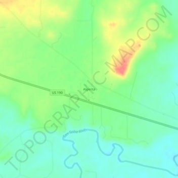
Name: Algerita topographic map, elevation, terrain.
Location: Algerita, San Saba County, Texas, United States (31.20794 -98.87310 31.24794 -98.83310)
Average elevation: 1,293 ft
Minimum elevation: 1,220 ft
Maximum elevation: 1,424 ft
San Saba County trails, hiking, mountain biking, running and outdoor activities
Other topographic maps
Click on a map to view its topography, its elevation and its terrain.