
Dermott topographic map
Click on the map to display elevation.
About this map
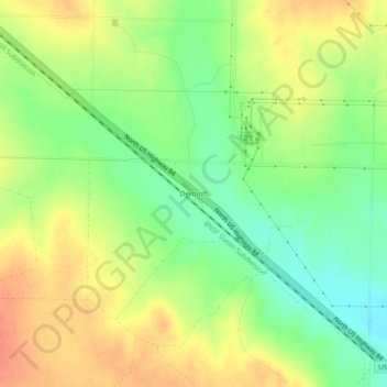
Name: Dermott topographic map, elevation, terrain.
Location: Dermott, Scurry County, Texas, United States (32.83454 -101.03571 32.87454 -100.99571)
Average elevation: 2,533 ft
Minimum elevation: 2,448 ft
Maximum elevation: 2,612 ft
Scurry County trails, hiking, mountain biking, running and outdoor activities
Other topographic maps
Click on a map to view its topography, its elevation and its terrain.