
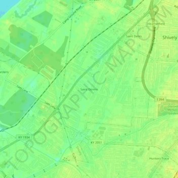
Saint Dennis topographic map
Interactive map
Click on the map to display elevation.
About this map
Name: Saint Dennis topographic map, elevation, terrain.
Average elevation: 453 ft
Minimum elevation: 413 ft
Maximum elevation: 476 ft
Other topographic maps
Click on a map to view its topography, its elevation and its terrain.
Louisville
United States > Kentucky > Jefferson County > Louisville
Louisville, Jefferson County, Kentucky, 40202-2923, United States
Average elevation: 591 ft
E.P. "Tom" Sawyer State Park
United States > Kentucky > Jefferson County > Louisville > Lakeland
E.P. "Tom" Sawyer State Park, Lakeland, Louisville, Jefferson County, Kentucky, United States
Average elevation: 686 ft
Worthington
United States > Kentucky > Jefferson County > Louisville
Worthington, Louisville, Jefferson County, Kentucky, 40241, United States
Average elevation: 682 ft
Turkey Run
United States > Kentucky > Jefferson County > Louisville
Turkey Run, Louisville, Jefferson County, Kentucky, United States
Average elevation: 584 ft
Riverside Gardens
United States > Kentucky > Jefferson County > Louisville
Riverside Gardens, Louisville, Jefferson County, Kentucky, 40216, United States
Average elevation: 446 ft