
Stratford topographic map
Click on the map to display elevation.
Stratford
Stratford (formerly, Stratton) is a census-designated place (CDP) in Kings County, California, United States. Stratford is located 14 miles (23 km) southwest of Hanford, at an elevation of 203 feet (62 m). It is part of the Hanford–Lemoore Metropolitan Statistical Area. The population was 1,277 at the 2010 census, up from 1,264 at the 2000 census.
About this map
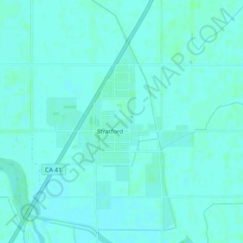
Name: Stratford topographic map, elevation, terrain.
Location: Stratford, Kings County, California, 93266, United States (36.18203 -119.83318 36.19894 -119.81534)
Average elevation: 194 ft
Minimum elevation: 187 ft
Maximum elevation: 203 ft
Kings County trails, hiking, mountain biking, running and outdoor activities
Other topographic maps
Click on a map to view its topography, its elevation and its terrain.
Avenal
United States > California > Kings County
Avenal (Spanish for "Oat field") is a city in Kings County, California, United States. Avenal is located 35 miles (56 km) southwest of Hanford, at an elevation of 807 ft (246 m). It is part of the Hanford–Corcoran Metropolitan Statistical Area (MSA Code 25260), which encompasses all of Kings County. In area,…
Average elevation: 810 ft
Kettleman City
United States > California > Kings County
Kettleman City is a census-designated place (CDP) in Kings County, California, United States. Kettleman City is located 28 miles (45 km) southwest of Hanford, 54 miles (88 km) south of Fresno, at an elevation of 253 feet (77 m), and sits only about 1/2 mile north of the 36th parallel north latitude. It is part…
Average elevation: 289 ft