
Keamari Town topographic map
Click on the map to display elevation.
About this map
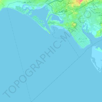
Name: Keamari Town topographic map, elevation, terrain.
Average elevation: 7 ft
Minimum elevation: -13 ft
Maximum elevation: 197 ft
Other topographic maps
Click on a map to view its topography, its elevation and its terrain.
Shaikh Muhallah And Qalanda Basti Block-A
Pakistan > Sindh > Karachi Division
Average elevation: 141 ft