
双月湾 topographic map
Interactive map
Click on the map to display elevation.
About this map
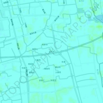
Name: 双月湾 topographic map, elevation, terrain.
Location: 双月湾, 南浔区, 湖州市, 浙江省, 中国 (30.81142 120.41087 30.85142 120.45087)
Average elevation: 13 ft
Minimum elevation: 7 ft
Maximum elevation: 33 ft
Other topographic maps
Click on a map to view its topography, its elevation and its terrain.