Geolocate

Rowley topographic map

Click on the map to display elevation.

About this map

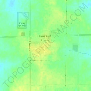
Name: Rowley topographic map, elevation, terrain.

Location: Rowley, Buchanan County, Iowa, United States (42.36393 -91.85041 42.37290 -91.83819)

Average elevation: 971 ft

Minimum elevation: 935 ft

Maximum elevation: 1,001 ft

Buchanan County trails, hiking, mountain biking, running and outdoor activities

Other topographic maps

Click on a map to view its topography, its elevation and its terrain.

Littleton

United States > Iowa > Buchanan County

Average elevation: 951 ft

Gear up for your next adventure:

🧭Map Reading Tools - Tools and kits for map navigation
📷Action Cameras - Rugged cameras to document your journeys across rugged terrain
🌄Hiking Binoculars - Compact binoculars for scenic views and trail spotting
🚪Portable Camp Chair - Foldable chair for comfort at camp
🎒Waterproof Dry Bags - Keep your electronics and maps dry inside your pack

As an Amazon Associate, this site earns from qualifying purchases at no extra cost to you.