Geolocate

Lebanon topographic map

Click on the map to display elevation.

About this map

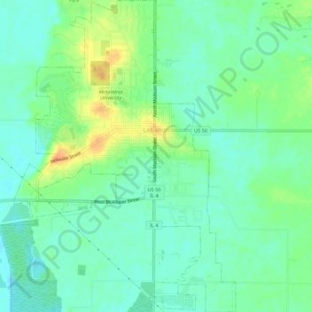
Name: Lebanon topographic map, elevation, terrain.

Location: Lebanon, Saint Clair County, Illinois, 62254, United States (38.57915 -89.83435 38.62147 -89.79353)

Average elevation: 456 ft

Minimum elevation: 413 ft

Maximum elevation: 538 ft

Saint Clair County trails, hiking, mountain biking, running and outdoor activities

Other topographic maps

Click on a map to view its topography, its elevation and its terrain.

Bohleysville

United States > Illinois > Saint Clair County

Average elevation: 610 ft

Shiloh

United States > Illinois > Saint Clair County > Shiloh > Shiloh

Average elevation: 518 ft

Gear up for your next adventure:

🗺️NatGeo Topo Maps - High-quality waterproof printed topographic maps of US Parks
☀️Outdoor Sunscreen - High protection sunscreen for outdoor activities
🌡️Handheld Weather Meters - Measure wind, temp, and pressure for safe mountain travel
🧭GPS Watch Accessories - Bands and chargers for GPS watches
🔥Camping Stove - Portable stove for camping and backcountry cooking

As an Amazon Associate, this site earns from qualifying purchases at no extra cost to you.