
Manson topographic map
Click on the map to display elevation.
About this map
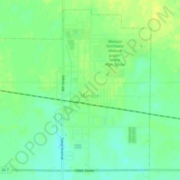
Name: Manson topographic map, elevation, terrain.
Location: Manson, Calhoun County, Iowa, United States (42.51686 -94.56056 42.54330 -94.52056)
Average elevation: 1,230 ft
Minimum elevation: 1,201 ft
Maximum elevation: 1,260 ft
Calhoun County trails, hiking, mountain biking, running and outdoor activities
Other topographic maps
Click on a map to view its topography, its elevation and its terrain.