Geolocate

Citarum topographic map

Click on the map to display elevation.

About this map

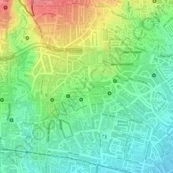
Name: Citarum topographic map, elevation, terrain.

Location: Citarum, Bandung Wetan, Bandung, West Java, Java, Indonesia (-6.91038 107.61055 -6.89897 107.62506)

Average elevation: 2,382 ft

Minimum elevation: 2,274 ft

Maximum elevation: 2,539 ft

Other topographic maps

Click on a map to view its topography, its elevation and its terrain.

Ciwaruga

Indonesia > West Java > Bandung

Average elevation: 2,930 ft

serang

Indonesia > West Java > Bandung > Kebon Pisang

Average elevation: 2,313 ft

Gear up for your next adventure:

🍳Camping Cook Set - Complete cookware for outdoor meals
🗺️NatGeo Topo Maps - High-quality waterproof printed topographic maps of US Parks
👟Trail Running Shoes - Lightweight shoes for trail runners
❄️Traction Cleats - Prevent slips on icy trails during winter hikes
🎒Outdoor Daypacks - Lightweight backpacks designed for carrying maps and essential gear

As an Amazon Associate, this site earns from qualifying purchases at no extra cost to you.