Geolocate

Shawan topographic map

Click on the map to display elevation.

About this map

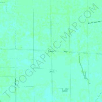
Name: Shawan topographic map, elevation, terrain.

Location: Shawan, Stoddard County, Missouri, 63735, United States (36.94380 -89.79991 36.98380 -89.75991)

Average elevation: 308 ft

Minimum elevation: 299 ft

Maximum elevation: 315 ft

Stoddard County trails, hiking, mountain biking, running and outdoor activities

Other topographic maps

Click on a map to view its topography, its elevation and its terrain.

Dexter

United States > Missouri > Stoddard County

Average elevation: 361 ft

Bell City

United States > Missouri > Stoddard County

Average elevation: 361 ft

Baker

United States > Missouri > Stoddard County

Average elevation: 292 ft

Gear up for your next adventure:

🧭Map Reading Tools - Tools and kits for map navigation
🪶Survival Guide Book - Expert advice for emergency preparedness
🪶Multi‑Purpose Knife - Useful blade for camp and trail
🌧️Backpack Rain Cover - Keep gear dry in wet weather
📻Weather Alert Radios - Stay informed of storm risks while off-the-grid

As an Amazon Associate, this site earns from qualifying purchases at no extra cost to you.