Geolocate

Rapidan topographic map

Click on the map to display elevation.

About this map

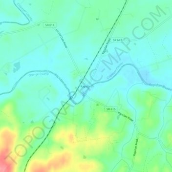
Name: Rapidan topographic map, elevation, terrain.

Location: Rapidan, Culpeper County, Virginia, 22733, United States (38.29258 -78.08583 38.33258 -78.04583)

Average elevation: 344 ft

Minimum elevation: 262 ft

Maximum elevation: 571 ft

Culpeper County trails, hiking, mountain biking, running and outdoor activities

Other topographic maps

Click on a map to view its topography, its elevation and its terrain.

Culpeper

United States > Virginia > Culpeper County

Average elevation: 430 ft

Rapidan River

United States > Virginia > Culpeper County

Average elevation: 620 ft

Gear up for your next adventure:

🧭Orienteering Set - Complete compass and map reading kit
🔭Compact Binoculars - HD vision for scouting terrain and identifying distant landmarks
🛠️Backpacking Tool Kit - Essential toolkit for outdoor repairs
🛡️Insect Repellent - Protection against bugs during outdoor activities
🔌USB Car Charger - Car charger for on‑the‑go power needs

As an Amazon Associate, this site earns from qualifying purchases at no extra cost to you.