Geolocate

Teapot Hill topographic map

Click on the map to display elevation.

About this map

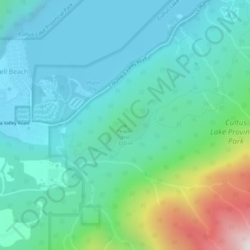
Name: Teapot Hill topographic map, elevation, terrain.

Location: Teapot Hill, Area H (Cultus Lake/Columbia Valley), Fraser Valley Regional District, British Columbia, V2R 4Z4, Canada (49.03121 -121.99393 49.03131 -121.99383)

Average elevation: 928 ft

Minimum elevation: 131 ft

Maximum elevation: 3,917 ft

Other topographic maps

Click on a map to view its topography, its elevation and its terrain.

Gear up for your next adventure:

🦺Reflective Outdoor Gear - Safety gear for low‑light conditions
🚁Photography Drones - Capture stunning aerial views of landforms and topography
🕶️Glacier Sunglasses - Side shields to protect eyes from high-altitude snow glare
👟Trail Running Shoes - Lightweight shoes for trail runners
🥄Camping Utensil Set - Lightweight utensils for outdoor meals

As an Amazon Associate, this site earns from qualifying purchases at no extra cost to you.