
Glade Park topographic map
Interactive map
Click on the map to display elevation.
About this map
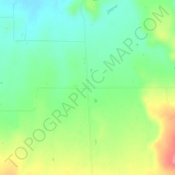
Name: Glade Park topographic map, elevation, terrain.
Location: Glade Park, Mesa County, Colorado, 81523, United States (38.98376 -108.75070 39.00376 -108.73070)
Average elevation: 6,923 ft
Minimum elevation: 6,811 ft
Maximum elevation: 7,110 ft
Mesa County trails, hiking, mountain biking, running and outdoor activities
Other topographic maps
Click on a map to view its topography, its elevation and its terrain.