Geolocate

Clifton topographic map

Click on the map to display elevation.

About this map

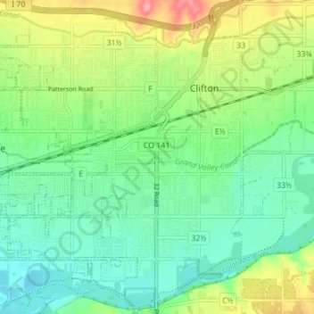
Name: Clifton topographic map, elevation, terrain.

Location: Clifton, Mesa County, Colorado, 81520, United States (39.05334 -108.49672 39.10676 -108.42904)

Average elevation: 4,695 ft

Minimum elevation: 4,593 ft

Maximum elevation: 4,902 ft

Mesa County trails, hiking, mountain biking, running and outdoor activities

Other topographic maps

Click on a map to view its topography, its elevation and its terrain.

Molina

United States > Colorado > Mesa County

Average elevation: 5,886 ft

Whitewater

United States > Colorado > Mesa County

Average elevation: 4,724 ft

Powderhorn Ski Area

United States > Colorado > Mesa County

Average elevation: 9,072 ft

Glade Park

United States > Colorado > Mesa County

Average elevation: 6,923 ft

De Beque

United States > Colorado > Mesa County

Average elevation: 5,240 ft

Gear up for your next adventure:

🔦LED Headlamp - Bright and durable LED headlamp for night navigation
🕶️GPS Smartphone Mount - Secure mount for phone navigation
🩳Quick‑Dry Hiking Shorts - Comfortable and quick‑dry shorts for summer hiking
🧯Emergency Survival Kit - All‑in‑one survival essentials for the backcountry
🔥Plasma Lighters - Windproof lighters that work in any weather condition

As an Amazon Associate, this site earns from qualifying purchases at no extra cost to you.