
Delta topographic map
Click on the map to display elevation.
About this map
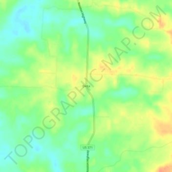
Name: Delta topographic map, elevation, terrain.
Location: Delta, Nevada County, Arkansas, United States (33.45179 -93.30489 33.49179 -93.26489)
Average elevation: 348 ft
Minimum elevation: 289 ft
Maximum elevation: 417 ft
Nevada County trails, hiking, mountain biking, running and outdoor activities
Other topographic maps
Click on a map to view its topography, its elevation and its terrain.