
Bell Tower (Kissing Couple) topographic map
Interactive map
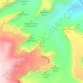
Click on the map to display elevation.
About this map
Name: Bell Tower (Kissing Couple) topographic map, elevation, terrain.
Average elevation: 5,614 ft
Minimum elevation: 4,760 ft
Maximum elevation: 6,614 ft
Mesa County trails, hiking, mountain biking, running and outdoor activities
Other topographic maps
Click on a map to view its topography, its elevation and its terrain.