Geolocate

Xiangshui topographic map

Click on the map to display elevation.

About this map

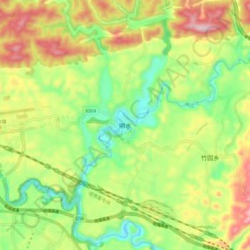
Name: Xiangshui topographic map, elevation, terrain.

Location: Xiangshui, Dafang, Bijie, Guizhou, China (27.22340 105.47729 27.30340 105.55729)

Average elevation: 4,675 ft

Minimum elevation: 4,117 ft

Maximum elevation: 5,427 ft

Other topographic maps

Click on a map to view its topography, its elevation and its terrain.

Dafang

China > Guizhou > Dafang

Average elevation: 4,875 ft

Gear up for your next adventure:

GPS Sports Watch - GPS watch for running, hiking and training
🧢Outdoor Hiking Hat - Sun protection hat for outdoor explorers
Backpacking Tents - Weight-optimized shelters for multi-day topographic surveys
🎁Geography Themed Gifts - Unique gift ideas for map lovers and geography enthusiasts
🪶Trail Camera - Capture wildlife on your hikes

As an Amazon Associate, this site earns from qualifying purchases at no extra cost to you.