
Diego Silang topographic map
Interactive map
Click on the map to display elevation.
About this map
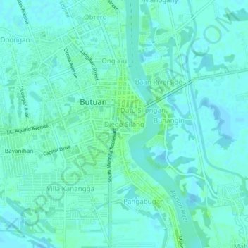
Name: Diego Silang topographic map, elevation, terrain.
Location: Diego Silang, Butuan, Caraga, 8600, Philippines (8.92477 125.52201 8.96477 125.56201)
Average elevation: 16 ft
Minimum elevation: 7 ft
Maximum elevation: 39 ft
Other topographic maps
Click on a map to view its topography, its elevation and its terrain.