
Forest View topographic map
Click on the map to display elevation.
About this map
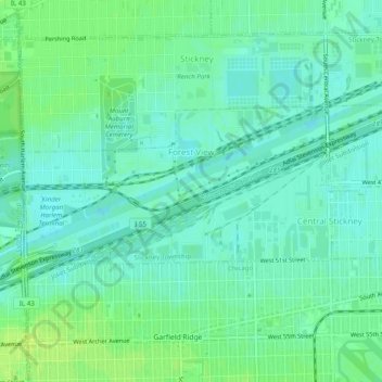
Name: Forest View topographic map, elevation, terrain.
Average elevation: 604 ft
Minimum elevation: 584 ft
Maximum elevation: 627 ft
Cook County trails, hiking, mountain biking, running and outdoor activities
Other topographic maps
Click on a map to view its topography, its elevation and its terrain.
University Park
United States > Illinois > Cook County > Markham > University Park
Average elevation: 627 ft
Elk Grove Village
United States > Illinois > Cook County > Elk Grove Village
Average elevation: 692 ft
Busse Woods reservoir division of waterways
United States > Illinois > Cook County
Average elevation: 699 ft