
Thank you for supporting this site ❤️
Make a donation
Make a donation
Gear up for your next adventure:
As an Amazon Associate, this site earns from qualifying purchases at no extra cost to you.
Dunnville topographic map
Click on the map to display elevation.
Thank you for supporting this site ❤️
Make a donation
Make a donation
Gear up for your next adventure:
As an Amazon Associate, this site earns from qualifying purchases at no extra cost to you.
About this map
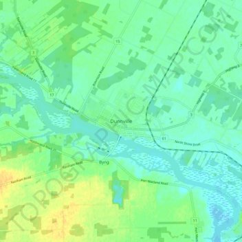
Name: Dunnville topographic map, elevation, terrain.
Location: Dunnville, Haldimand County, Ontario, N1A 1R3, Canada (42.86592 -79.65885 42.94592 -79.57885)
Average elevation: 594 ft
Minimum elevation: 564 ft
Maximum elevation: 646 ft
Thank you for supporting this site ❤️
Make a donation
Make a donation
Gear up for your next adventure:
As an Amazon Associate, this site earns from qualifying purchases at no extra cost to you.