
La Center topographic map
Click on the map to display elevation.
About this map
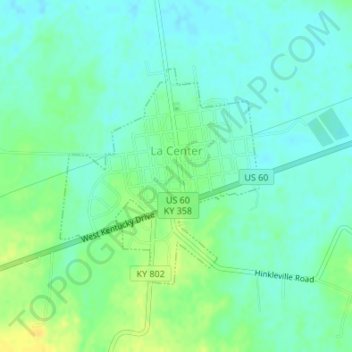
Name: La Center topographic map, elevation, terrain.
Location: La Center, Ballard County, Kentucky, United States (37.06646 -88.98488 37.08302 -88.96574)
Average elevation: 364 ft
Minimum elevation: 335 ft
Maximum elevation: 413 ft
Ballard County trails, hiking, mountain biking, running and outdoor activities
Other topographic maps
Click on a map to view its topography, its elevation and its terrain.