
Slater topographic map
Click on the map to display elevation.
About this map
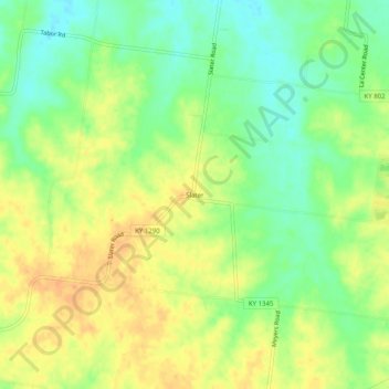
Name: Slater topographic map, elevation, terrain.
Location: Slater, Ballard County, Kentucky, United States (36.99644 -89.00923 37.03644 -88.96923)
Average elevation: 443 ft
Minimum elevation: 377 ft
Maximum elevation: 499 ft
Ballard County trails, hiking, mountain biking, running and outdoor activities
Other topographic maps
Click on a map to view its topography, its elevation and its terrain.