Geolocate

Jebel Akhdar topographic map

Click on the map to display elevation.

About this map

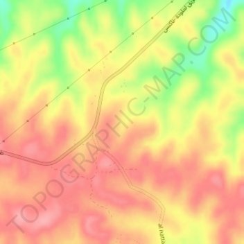
Name: Jebel Akhdar topographic map, elevation, terrain.

Location: Jebel Akhdar, Jabal al Akhdar, Libya (32.64995 21.84995 32.65005 21.85005)

Average elevation: 2,779 ft

Minimum elevation: 2,566 ft

Maximum elevation: 2,887 ft

Gear up for your next adventure:

🦶Carbon Trekking Poles - Reduce knee impact on steep descents with ultra-light poles
🔌USB Car Charger - Car charger for on‑the‑go power needs
🌡️Handheld Weather Meters - Measure wind, temp, and pressure for safe mountain travel
🔦Compact Flashlight - Reliable flashlight for emergencies
📚Navigation Handbooks - Master the art of reading topographic maps and using a compass

As an Amazon Associate, this site earns from qualifying purchases at no extra cost to you.