
Make a donation
Gear up for your next adventure:
As an Amazon Associate, this site earns from qualifying purchases at no extra cost to you.
Astrup topographic map
Click on the map to display elevation.
Make a donation
Gear up for your next adventure:
As an Amazon Associate, this site earns from qualifying purchases at no extra cost to you.
About this map
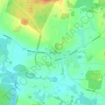
Name: Astrup topographic map, elevation, terrain.
Average elevation: 121 ft
Minimum elevation: 62 ft
Maximum elevation: 236 ft
Make a donation
Gear up for your next adventure:
As an Amazon Associate, this site earns from qualifying purchases at no extra cost to you.
Other topographic maps
Click on a map to view its topography, its elevation and its terrain.
Aalborg
Denmark > North Denmark Region
The area close to the waterfront is low-lying, with an elevation averaging about 5 metres (16 ft), but there are many hills in and around city, some reaching over 60 m (200 ft). Nørresundby, on the northern side of the sound, is also a hilly area. Villages to the south of Aalborg from west to east include…
Average elevation: 56 ft
Make a donation
Gear up for your next adventure:
As an Amazon Associate, this site earns from qualifying purchases at no extra cost to you.