
Bukit Besar topographic map
Click on the map to display elevation.
About this map
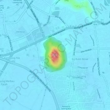
Name: Bukit Besar topographic map, elevation, terrain.
Location: Bukit Besar, Kuala Terengganu, Terengganu, 21100, Malaysia (5.30702 103.13489 5.30712 103.13499)
Average elevation: 36 ft
Minimum elevation: 7 ft
Maximum elevation: 453 ft
Other topographic maps
Click on a map to view its topography, its elevation and its terrain.
Pak Mat Lebai Island
Malaysia > Terengganu > Kuala Terengganu > Kuala Terengganu
Average elevation: 20 ft
Duyung Small Island
Malaysia > Terengganu > Kuala Terengganu > Kuala Terengganu
Average elevation: 13 ft
Taman Tamadun Islam (Mini Islam)
Malaysia > Terengganu > Kuala Terengganu > Kuala Terengganu
Average elevation: 16 ft
Batu Burok Public Park
Malaysia > Terengganu > Kuala Terengganu > Kuala Terengganu
Average elevation: 16 ft