
Provincia de Lucanas topographic map
Interactive map
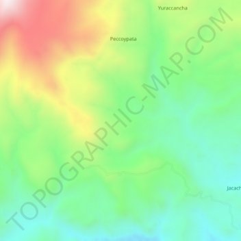
Click on the map to display elevation.
About this map
Name: Provincia de Lucanas topographic map, elevation, terrain.
Location: Provincia de Lucanas, Lucanas, Ayacucho, Perú (-14.52000 -74.35333 -14.48000 -74.31333)
Average elevation: 12,054 ft
Minimum elevation: 11,188 ft
Maximum elevation: 13,583 ft
Other topographic maps
Click on a map to view its topography, its elevation and its terrain.
Reserva Nacional Pampa Galeras Bárbara D’Achille
Reserva Nacional Pampa Galeras Bárbara D’Achille, Lucanas, Provincia de Lucanas, Ayacucho, Perú
Average elevation: 13,058 ft