
文山村 topographic map
Interactive map
Click on the map to display elevation.
About this map
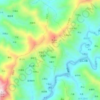
Name: 文山村 topographic map, elevation, terrain.
Location: 文山村, 黄山市, 安徽省, 中国 (29.87151 118.66953 29.91151 118.70953)
Average elevation: 1,040 ft
Minimum elevation: 400 ft
Maximum elevation: 2,428 ft
Other topographic maps
Click on a map to view its topography, its elevation and its terrain.