
屯溪区 topographic map
Interactive map
Click on the map to display elevation.
About this map
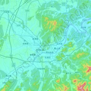
Name: 屯溪区 topographic map, elevation, terrain.
Location: 屯溪区, 黄山市, 安徽省, 中国 (29.65723 118.18675 29.83767 118.40177)
Average elevation: 515 ft
Minimum elevation: 351 ft
Maximum elevation: 1,572 ft
Other topographic maps
Click on a map to view its topography, its elevation and its terrain.