
禄脿街道 topographic map
Interactive map
Click on the map to display elevation.
About this map
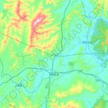
Name: 禄脿街道 topographic map, elevation, terrain.
Location: 禄脿街道, 安宁市, 昆明市, 云南省, 中国 (24.91259 102.16798 25.09104 102.32895)
Average elevation: 6,519 ft
Minimum elevation: 5,879 ft
Maximum elevation: 8,543 ft
Other topographic maps
Click on a map to view its topography, its elevation and its terrain.