
Make a donation
Gear up for your next adventure:
As an Amazon Associate, this site earns from qualifying purchases at no extra cost to you.
Lenzburg topographic map
Click on the map to display elevation.
Make a donation
Gear up for your next adventure:
As an Amazon Associate, this site earns from qualifying purchases at no extra cost to you.
About this map
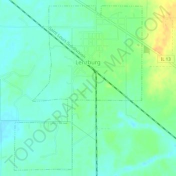
Name: Lenzburg topographic map, elevation, terrain.
Location: Lenzburg, Saint Clair County, Illinois, United States (38.27067 -89.83176 38.29592 -89.80674)
Average elevation: 440 ft
Minimum elevation: 407 ft
Maximum elevation: 502 ft
Saint Clair County trails, hiking, mountain biking, running and outdoor activities
Make a donation
Gear up for your next adventure:
As an Amazon Associate, this site earns from qualifying purchases at no extra cost to you.
Other topographic maps
Click on a map to view its topography, its elevation and its terrain.
Make a donation
Gear up for your next adventure:
As an Amazon Associate, this site earns from qualifying purchases at no extra cost to you.
Dutch Hollow
United States > Illinois > Saint Clair County > Belleville > Dutch Hollow
Average elevation: 558 ft