Geolocate

Root River topographic map

Click on the map to display elevation.

About this map

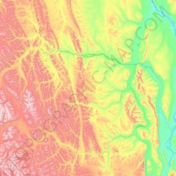
Name: Root River topographic map, elevation, terrain.

Location: Root River, Northwest Territories, Canada (62.42043 -125.95534 62.98230 -123.28257)

Average elevation: 2,579 ft

Minimum elevation: 299 ft

Maximum elevation: 7,306 ft

Other topographic maps

Click on a map to view its topography, its elevation and its terrain.

Inuvik

Canada > Northwest Territories

Average elevation: 95 ft

Cli Lake

Canada > Northwest Territories > Dehcho Region

Average elevation: 1,056 ft

Fort Liard

Canada > Northwest Territories > Fort Liard

Average elevation: 781 ft

Gear up for your next adventure:

🥇GPS Hiking Watch - Multi‑sport GPS watch with navigation and trail tracking
🪶Paracord Bracelet - Survival bracelet with built‑in tools
🛠️Backpacking Tool Kit - Essential toolkit for outdoor repairs
📚USA Hiking Guide Books - Top trail guides and map books
📷Action Cameras - Rugged cameras to document your journeys across rugged terrain

As an Amazon Associate, this site earns from qualifying purchases at no extra cost to you.