
Thank you for supporting this site ❤️
Make a donation
Make a donation
Gear up for your next adventure:
As an Amazon Associate, this site earns from qualifying purchases at no extra cost to you.
Kigumo topographic map
Click on the map to display elevation.
Thank you for supporting this site ❤️
Make a donation
Make a donation
Gear up for your next adventure:
As an Amazon Associate, this site earns from qualifying purchases at no extra cost to you.
About this map
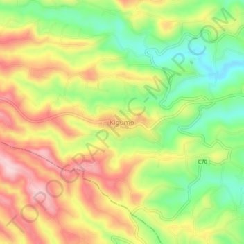
Name: Kigumo topographic map, elevation, terrain.
Location: Kigumo, Murang'a County, Central Kenya, Kenya (-0.82197 36.94207 -0.78197 36.98207)
Average elevation: 5,778 ft
Minimum elevation: 5,390 ft
Maximum elevation: 6,165 ft
Thank you for supporting this site ❤️
Make a donation
Make a donation
Gear up for your next adventure:
As an Amazon Associate, this site earns from qualifying purchases at no extra cost to you.