
Salt Lick topographic map
Click on the map to display elevation.
About this map
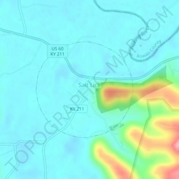
Name: Salt Lick topographic map, elevation, terrain.
Location: Salt Lick, Bath County, Kentucky, United States (38.11210 -83.62489 38.12657 -83.60631)
Average elevation: 712 ft
Minimum elevation: 640 ft
Maximum elevation: 1,037 ft
Bath County trails, hiking, mountain biking, running and outdoor activities
Other topographic maps
Click on a map to view its topography, its elevation and its terrain.
Pioneer Weapons Wildlife Management Area
United States > Kentucky > Bath County
Average elevation: 1,060 ft