Geolocate

Neff topographic map

Click on the map to display elevation.

About this map
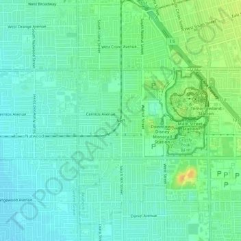
Name: Neff topographic map, elevation, terrain.

Location: Neff, Anaheim, Orange County, California, 92802, United States (33.78946 -117.95284 33.82946 -117.91284)

Average elevation: 128 ft

Minimum elevation: 95 ft

Maximum elevation: 190 ft

Orange County trails, hiking, mountain biking, running and outdoor activities

Other topographic maps

Click on a map to view its topography, its elevation and its terrain.

Cars Land

United States > California > Orange County > Anaheim

Average elevation: 138 ft

Gear up for your next adventure:

🎁Geography Themed Gifts - Unique gift ideas for map lovers and geography enthusiasts
🏕️Tent Footprint - Protect your tent base from wear
👓Polarized Sunglasses - Outdoor sunglasses for glare reduction
☕Camping Coffee Makers - Enjoy premium coffee at the summit or campsite
🥾Women's Hiking Boots - Top-rated trail boots with ankle support and superior grip

As an Amazon Associate, this site earns from qualifying purchases at no extra cost to you.