Geolocate

Cross Roads topographic map

Click on the map to display elevation.

About this map

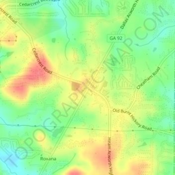
Name: Cross Roads topographic map, elevation, terrain.

Location: Cross Roads, Paulding County, Georgia, United States (34.00024 -84.76535 34.02024 -84.74535)

Average elevation: 961 ft

Minimum elevation: 860 ft

Maximum elevation: 1,073 ft

Paulding County trails, hiking, mountain biking, running and outdoor activities

Other topographic maps

Click on a map to view its topography, its elevation and its terrain.

Braswell

United States > Georgia > Paulding County

Average elevation: 1,079 ft

Gear up for your next adventure:

❄️Traction Cleats - Prevent slips on icy trails during winter hikes
🧦Merino Wool Socks - Moisture-wicking, blister-preventing socks for long treks
🪑Portable Camp Table - Compact table for campsite meals
🧯Emergency Survival Kit - All‑in‑one survival essentials for the backcountry
📶Satellite Messenger - Communication device off‑grid

As an Amazon Associate, this site earns from qualifying purchases at no extra cost to you.