Geolocate

Silver topographic map

Click on the map to display elevation.

About this map

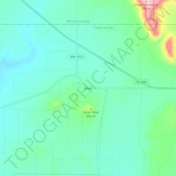
Name: Silver topographic map, elevation, terrain.

Location: Silver, Coke County, Texas, United States (32.05089 -100.70281 32.09089 -100.66281)

Average elevation: 2,106 ft

Minimum elevation: 1,969 ft

Maximum elevation: 2,582 ft

Coke County trails, hiking, mountain biking, running and outdoor activities

Other topographic maps

Click on a map to view its topography, its elevation and its terrain.

Robert Lee

United States > Texas > Coke County

Average elevation: 1,831 ft

Gear up for your next adventure:

🛰️Satellite Messengers - Emergency SOS and two-way messaging for off-grid adventures
📶Satellite Messenger - Communication device off‑grid
🪶Fire Starter Kit - Reliable fire starter for survival and camping
💧Water Filtration Bottles - Safely drink from streams and lakes while exploring
📡Handheld GPS Device - Reliable handheld GPS for outdoor navigation

As an Amazon Associate, this site earns from qualifying purchases at no extra cost to you.