Geolocate

Tobin Lake topographic map

Click on the map to display elevation.

About this map

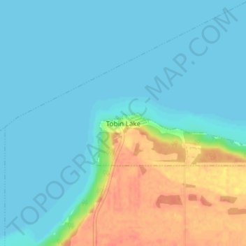
Name: Tobin Lake topographic map, elevation, terrain.

Location: Tobin Lake, Moose Range No. 486, Saskatchewan, Canada (53.49778 -103.76210 53.53778 -103.72210)

Average elevation: 1,050 ft

Minimum elevation: 1,014 ft

Maximum elevation: 1,155 ft

Gear up for your next adventure:

Camping Coffee Makers - Enjoy premium coffee at the summit or campsite
🧢Sun Protection Hats - Wide-brimmed and UPF-rated hats for high-altitude sun safety
📱Solar Portable Charger - Solar power bank for charging devices off‑grid
🚑Emergency Bivvies - Heat-reflective sleeping bags for survival situations
🧷Carabiner Set - Durable clips for gear attachment

As an Amazon Associate, this site earns from qualifying purchases at no extra cost to you.