
团圆 topographic map
Interactive map
Click on the map to display elevation.
About this map
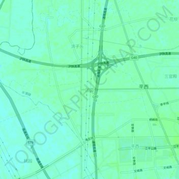
Name: 团圆 topographic map, elevation, terrain.
Location: 团圆, 南通市, 江苏省, 中国 (32.08995 120.69910 32.12995 120.73910)
Average elevation: 16 ft
Minimum elevation: 3 ft
Maximum elevation: 26 ft
Other topographic maps
Click on a map to view its topography, its elevation and its terrain.