
葛市 topographic map
Interactive map
Click on the map to display elevation.
About this map
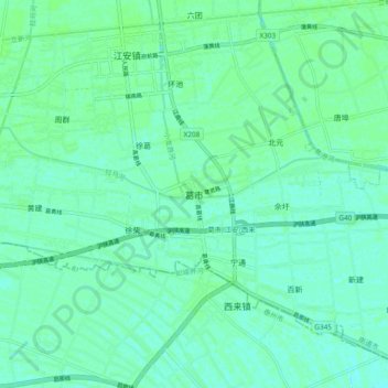
Name: 葛市 topographic map, elevation, terrain.
Location: 葛市, 南通市, 江苏省, 中国 (32.10088 120.38742 32.18088 120.46742)
Average elevation: 20 ft
Minimum elevation: 7 ft
Maximum elevation: 30 ft
Other topographic maps
Click on a map to view its topography, its elevation and its terrain.