
六甲镇 topographic map
Interactive map
Click on the map to display elevation.
About this map
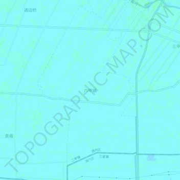
Name: 六甲镇 topographic map, elevation, terrain.
Location: 六甲镇, 南通市, 江苏省, 中国 (31.99564 121.12712 32.03564 121.16712)
Average elevation: 13 ft
Minimum elevation: 10 ft
Maximum elevation: 20 ft
Other topographic maps
Click on a map to view its topography, its elevation and its terrain.